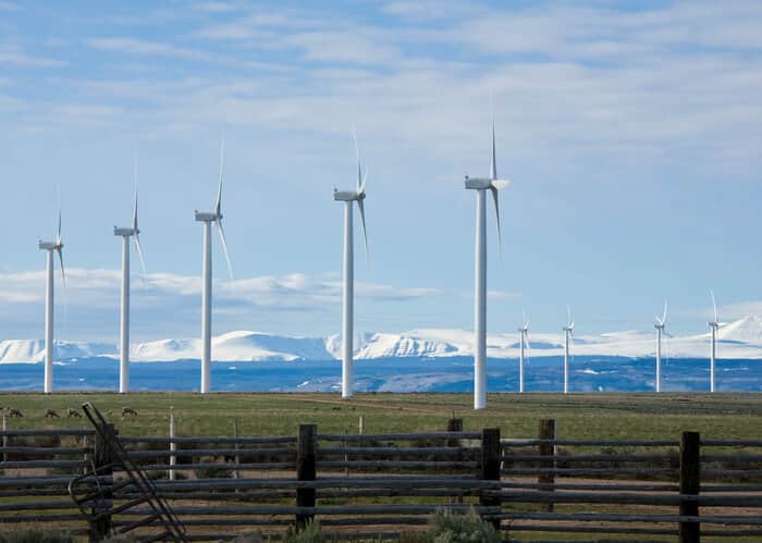
ESRI has introduced the Renewable Energy Atlas of Vermont, which allows visitors to the Web site to identify, visualize and analyze data about existing and promising renewable energy projects for Vermont's towns and counties.
Visitors to the Renewable Energy Atlas of Vermont Web site can select from wind, solar, biomass, efficiency, geothermal and hydroelectric energy data layers and use geographic information system (GIS) tools to view existing and proposed projects by area. All renewable energy data layers were created and analyzed using ESRI's ArcGIS Desktop software and published with ArcGIS Server.
According to ESRI, the Renewable Energy Atlas of Vermont will assist town energy committees, funders, educators, planners, policy-makers and businesses in making informed decisions about renewable energies in their communities – decisions that ultimately lead to successful projects, greater energy security, a cleaner and healthier environment, and better quality of life across the state.
The Vermont Sustainable Jobs Fund, Vermont Center for Geographic Information, Fountains Spatial and Overit Media collaborated to develop the atlas in hopes of moving the state's renewable energy projects from concept to reality. ESRI provided professional service support.
‘We were looking for a way to show people how renewable energy flows through their communities, so they can see the options for harnessing it,’ says Scott Sawyer, research, evaluation and communications coordinator at Vermont Sustainable Jobs Fund. ‘The Web site lets them zoom in to a town level or sub-town level and look at the renewable energy and efficiency possibility.’
The suite of renewable energy options is further broken down into 20 categories of data for specific renewable energy analysis. The site also provides tools for calculating energy potential.
SOURCE: ESRI


