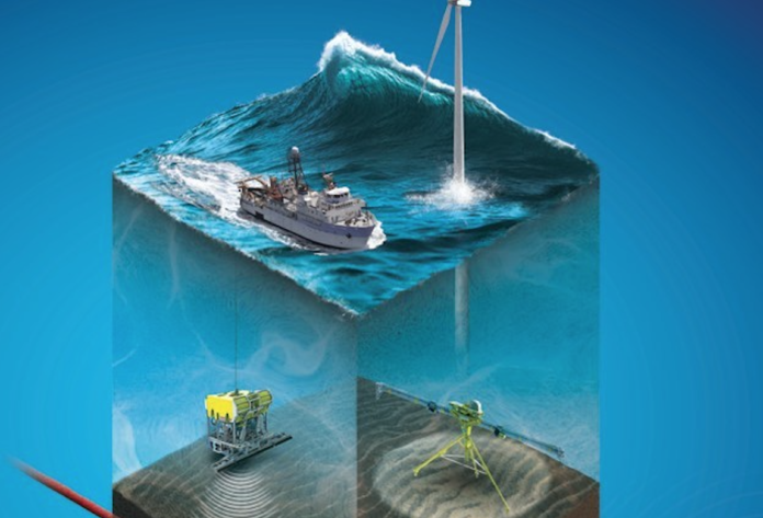
PanGeo Subsea Inc., a marine geophysical-geotechnical service delivery company, and ThayerMahan Inc. have executed a cooperative partnering agreement to provide a complete suite of state-of-the-art seabed and sub-seabed survey technologies to provide 3D acoustic imagery to clients in the offshore energy industry.
PanGeo Subsea’s imaging technology can identify sub-seabed hazards using real-time 3D volumetric synthetic aperture sonar data. ThayerMahan SeaScout uses an actively stabilized towfish and synthetic aperture sonar to produce high-resolution, real-time seabed imagery at high speed from vessels large and small.
“We are proud to be teaming with PanGeo. This partnership combines ThayerMahan’s ability to conduct high-speed, high-precision seabed search with PanGeo’s ability to investigate sub-seabed conditions using cutting edge technology,” says Mike Connor, CEO of ThayerMahan.
“Together, we provide a more complete service offering to our customers in government, industry and academia,” he adds.
ThayerMahan personnel can control and monitor seabed survey operations from their operations center in Groton, Conn. PanGeo Subsea offers two acoustic survey technologies – the Sub-Bottom Imager and Acoustic Corer that penetrate the seabed floor to depths of 20-30 ft. and 120 ft., respectively, to provide true real-time 3D visualization of buried geohazards.


