Equinor and bp, in conjunction with the New York State Energy Research and Development Authority (NYSERDA), say historical and near-real-time data from the Empire Wind and Beacon Wind lease areas are now available publicly through the Mid-Atlantic Regional Association Coastal Ocean Observing System (MARACOOS) OceansMap project.
The dataset includes information on wave height, currents, wind speed and wind direction collected by buoys south of Long Beach and east of Montauk, N.Y. Surface data is provided by Met Ocean and floating light detection and ranging buoys, which complements data regarding underwater conditions gathered from buoys located on the seabed floor.
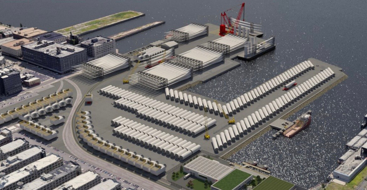
Equinor and bp, which are jointly developing Empire Wind and Beacon Wind, say the collection of this data has been instrumental in development efforts such as foundation design, construction schedules and estimated transit times to and from the wind farms.
The Beacon Wind buoys will continue to produce data until November 2023. The Empire Wind buoys’ data is from 2018 through 2022, when the buoys were brought back to shore.


