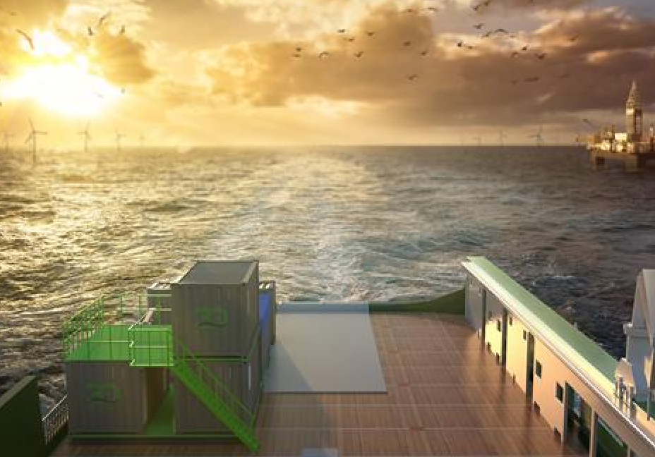
3D at Depth Inc., a company that specializes in commercial subsea LiDAR (SL) laser technology and a provider of underwater survey services and 3D data solutions, has launched its offshore geophysical survey services division.
The company says its new division will provide surveys to support nearshore, inshore and offshore deepwater development activities focused in the areas of offshore wind farms, pipeline routes, environmental site surveys and civil engineering surveys.
“Since the company’s formation, we’ve focused on developing flexible site and subsea asset characterization technologies designed to reduce crew time and lower CO2 emissions,“ says Neil Manning, COO of 3D at Depth. “By deploying smaller, more efficient vessels that can be operated safely outside the 500 m zone or offshore exclusion areas without sacrificing data quality is a differentiator. When we looked at the problem, we found a gap in the market for this type of implementation that delivers cost-efficient surveys that still provide maximum data quality.”
The company notes its new division will leverage in-house electronics, system integration and design capabilities as key differentiators. SL 3D data sets will be merged with multibeam echosounder (MBES) multi-frequency, multi-spectral data acquisition and optical technologies which will enable higher quality output.
3D at Depth says its technology was developed from best practices in deep water survey campaigns to tackle the challenges of shallow water survey data collection and acquisition projects. Shallow water projects have exposure to lengthy weather events, crew and ship standby costs, and sea-state challenges for collection – all of which impact the time, budget, and quality of the data.


